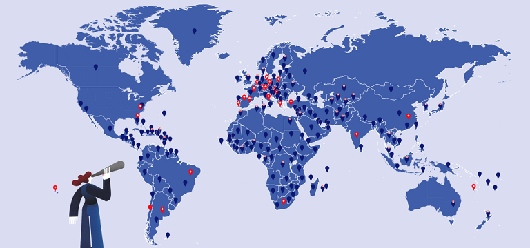
Europ Assistance, founded in 1963, is one of the largest assistance companies in the world, setting trends in the ever-expanding assistance service industry. Today, it operates in more than 200 countries, cooperates with more than 750,000 partners and operates 40 assistance centers. Google Maps, with its worldwide coverage, are an essential part of many assistance applications. In 2001, Europ Assistance Czech and the Slovak Republic opened in Prague. It has been using Google Maps since 2012 and since 2015 it has been cooperating with Globema, a Google Cloud Premier Partner.
Challenges
The company’s vision is to be the most reliable provider of assistance services in the world. It is driven by the motto “You Live, We Care”. Offered services include car assistance services across Europe, including digital roadside assistance and mobile assistance applications. Furthermore, health and travel services, personal assistance or home assistance. The basis for a trustworthy relationship with customers is reliable service at all time. To fulfil its vision, it is important to have the accurate location of all customers searching for help, to have the location of the closest assistance vehicle or assistance centre, and to estimate arrival time to the client’s position. Before deploying Geolink with Google Maps services, it was very difficult to locate the client.
Solutions
It is essential to have up-to-date data with worldwide coverage. The service must be simple, efficient and accessible anytime anywhere. That’s why Europ Assistance opted for the Google Maps Platform – the most innovative map platform in the world, offering worldwide coverage and easy implementation of API services into websites and applications.
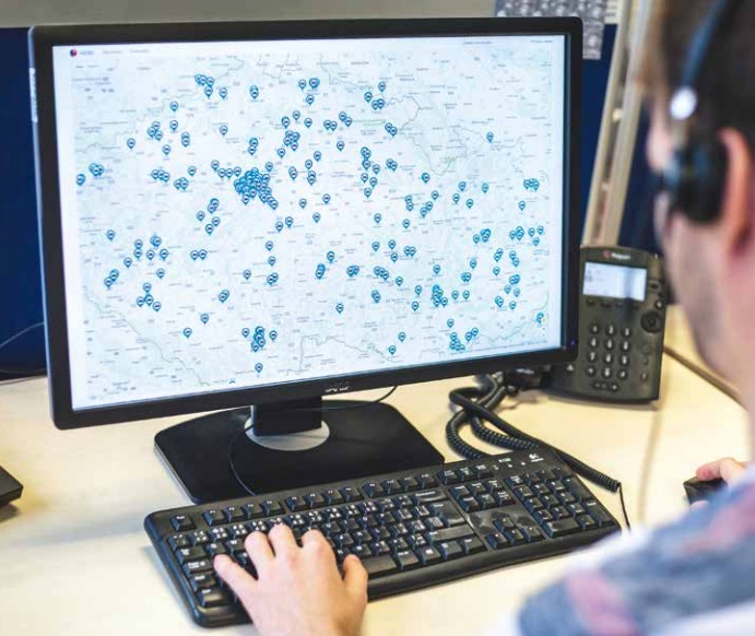
- Geolink App allows dispatcher to locate a client within minutes.
- Europ Assistance has developed its own towing service monitoring system VGSD Core. Operators see the location of the nearest free towing service car in real-time. GPS monitoring of towing and assistance vehicles shortens travel times and reduces costs.
- Dynamic Maps are used to display the current location of the towing service or as a part of an application to hand over the exact client location.
- Distance Matrix and real traffic are the core map services in calculating the towing distance to the client and the time of arrival.
Europ Assistance is constantly automating and digitizing its services and continues to leverage Google Maps in DRSA App, for client localization, and in DRSU App, a fully digitalized end-to-end solution for clients to request assistance such as roadside assistance and vehicle towing easily.
300
worldwide
34
handled per year
10
per year